Matthew Now A Category 4 Hurricane
 Matthew has strengthen significantly overnight through this afternoon becoming a category 4 hurricane.
Hurricane Matthew
5:00 PM EDT on September 30, 2016
Location 13.5 N -71.6 W
Winds: 140 mph Gust: 165 mph
Pressure: 949 mb
Category: 4
Moving: WSW at 9 mph
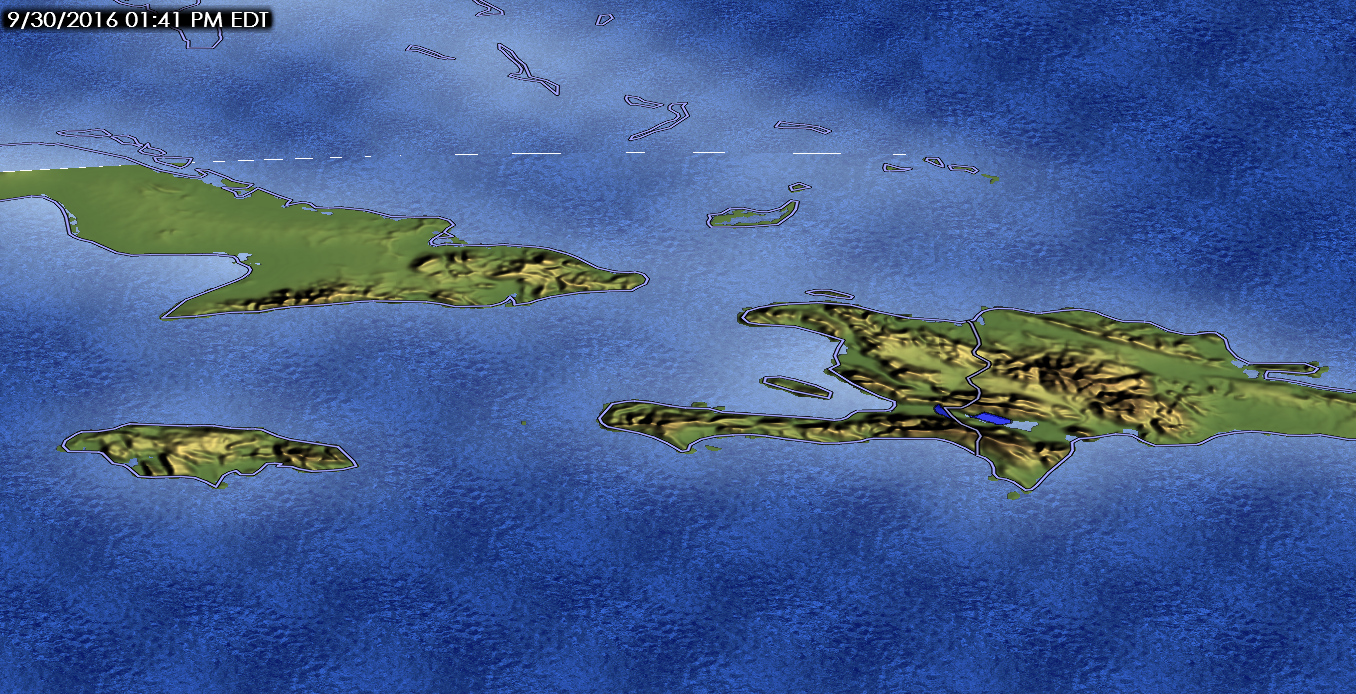
This movement if forecast to continue over the next 24-36 hours as it crosses over the southern Caribbean. By Saturday night and Sunday morning, the storm will begin to interact with the upper-level low and trough over the eastern US and Gulf of Mexico. This interaction will result in a northwest turn at that time. The storm will then begin to impact Jamaica, Haiti, and Cuba by Monday morning. Matthew is forecast to be a category 3 hurricane when it arrives.
The terrain in this area is rather rough with mountains within the storm track.
This interaction with the islands will weaken the storm a little, possibly down to a category 1 or 2 hurricane during this time.
Matthew will reemerge over water by Tuesday afternoon and will be approaching The Bahamas a couple of hours later. This is where the forecast for Matthew gets a little tough.
By this point, the GFS and Euro disagree on the location of Matthew over The Bahamas. The GFS has it over northwest Bahamas by Wednesday morning while the Euro is over the southeast Bahamas at the same time frame. The difference between timing and placement has some impact of its future.
 The 12Z GFS has a stronger blocking high than recent runs and trended to a slower solution. Still faster than the 00Z Euro solution though (still waiting for 12Z Euro at the time of this writing). A trough will push through the US from the west and appears to be fast enough to influence the direction of the storm. And while the 12Z GFS brings the storm closer to the east coast, the trough will push it away from the North Carolina coast.
The long term portion of this forecast is very difficult and prone to numerous errors. While there has been a closer consensus among the models with keeping it off the east coast, I warn against relying on these model solutions this far out considering the possibility of a large scale change in forecast. So while the models may show the storm off the coast, there is still a possibility that the track could shift more east or west in time.
The trough that is forecast to turn this storm off the North Carolina coast is not guaranteed to be on time. It could get there sooner and get there later which would have a huge impact on forecast track.
Considering the complexity of the forecast I will not be issuing a forecast track beyond the 5 day forecast from the NHC.
I will keep updating as new information becomes available.
Update: The 12Z Euro has slowed down the storm considerable over the GFS and it’s own previous runs. This begins to create havoc with it’s forecast solution which I’m not sure whether this particular solution is possible but we will have to wait.
Differences with this run:
The upper-low over the NE US does have an impact in Matthew’s track early on but moves quickly off the NE coast with a strong ridge building in behind it. This ridge would be stronger than the GFS solution and extends further (down the mountains to Georgia!). The approaching trough that has an impact on the storm in the GFS run, is considerably weaker on the Euro run. As a result, the trough passes north of the storm without too much impact. By next Saturday, Matthew continues to remain in the Bahamas while the GFS run’s solution has the storm pulling away from the North Carolina coast. Because of this slower motion and the trough missing the storm completely, a strong ridge builds over the eastern US as well as north of the storm causing it to stall on the north end of The Bahamas.
The model ends at hour 240 but if it were to extend outward further (considering everything before it happens) the next trough would then pick up the storm run it to the east coast and off to the northeast.
Did I mention it has a central pressure around 924mb?
So after all of this, I honestly don’t see this happening. I believe that it is making the ridge over the NE US way too strong and the trough passing over the country way too weak.
As I have mentioned before, forecast this far advanced into the future are usually prone to significant error so this whole description of what the Euro model produced will be changed in 12 hours. I will say, trying to forecast this storm has been the most entertaining and difficult forecast I have had to make and there are still over 7 days left of this!
Update: Changed Matthew’s hurricane category to 4. Forecast think remains the same as above.

