
Atmospheric River
Integrated water vapor, satellite imagery and atmospheric-river detection for monitoring concentrated moisture transport.
Water Vapor & Atmospheric River Analysis
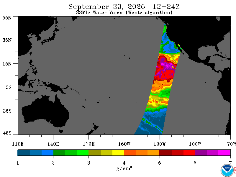
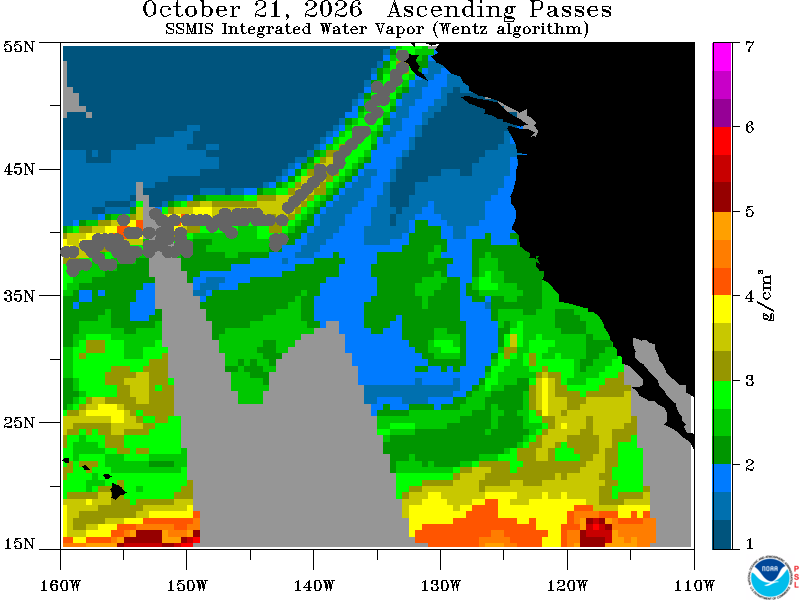
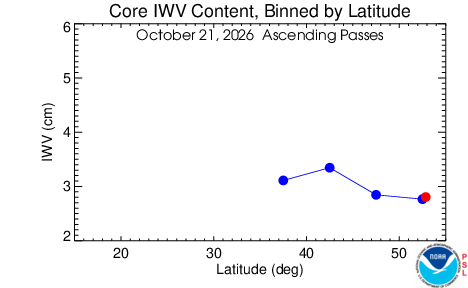
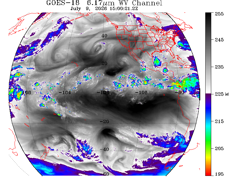
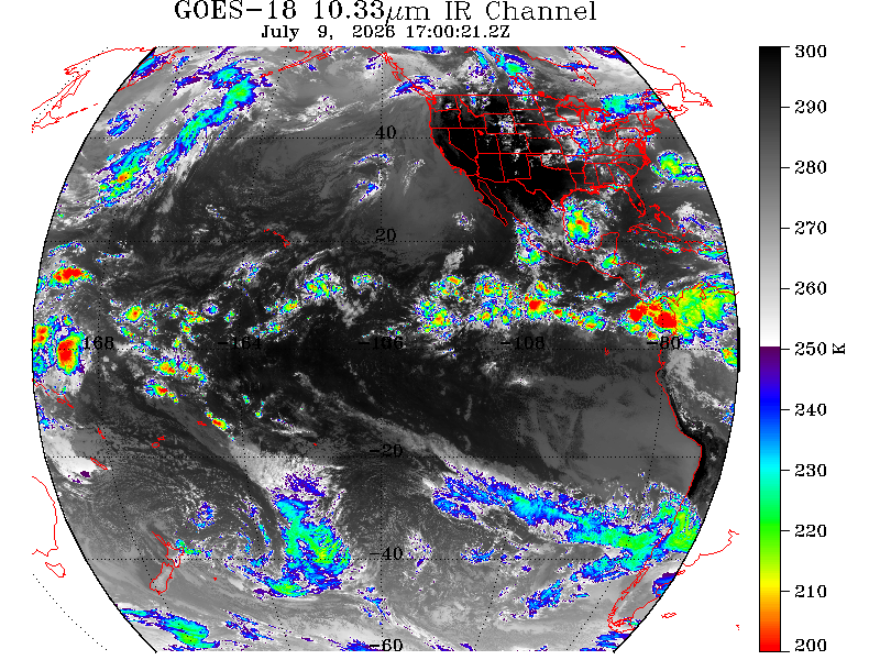
These are the live visual products. Click or tap any image to expand it.
Historical Product Archive
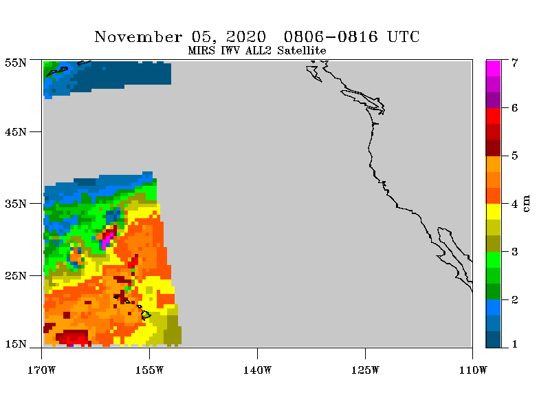
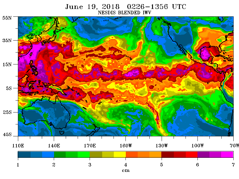
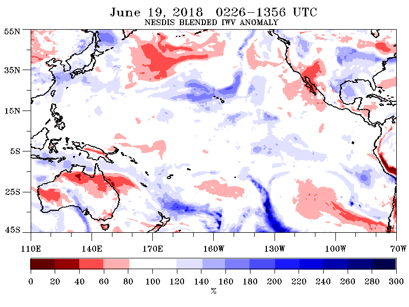
Selected discontinued NOAA PSL product feeds are shown for historical reference and are clearly labeled as archival.
Open the Complete NOAA PSL Products
The images above stay on ENC Weather. These links provide the longer loops, archives and forecast tools when you want to go deeper.
Current SSMIS composites, historical images and 14-day animations.
Open source ↗SatelliteHMT Satellite Support ImagerySSMIS water vapor, geostationary imagery and atmospheric-river products.
Open source ↗PortalNOAA PSL Atmospheric River PortalAtmospheric-river observations, forecasts, diagnostics and research tools.
Open source ↗DetectionAutomated Atmospheric River DetectionFull NOAA PSL detection and GFS forecast product suite.
Open source ↗ENC SatelliteGOES-EastCurrent GOES-19 GeoColor, infrared and Air Mass imagery on ENC Weather.
Open →IWV and IVT
Atmospheric-river analysis combines the amount of atmospheric moisture with the strength of its transport.
Integrated Water Vapor: the total amount of water vapor through the atmospheric column.
Integrated Vapor Transport: combines moisture with wind to identify concentrated moisture transport.
Water-vapor and infrared imagery reveal cloud structure and the larger moisture environment.
Detection algorithms identify long, narrow corridors of enhanced atmospheric moisture transport.