Lightning
Current lightning activity across Eastern North Carolina and the contiguous United States.
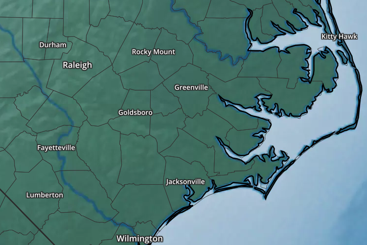
Eastern North Carolina Lightning
Current strike-density analysis centered on Eastern North Carolina.
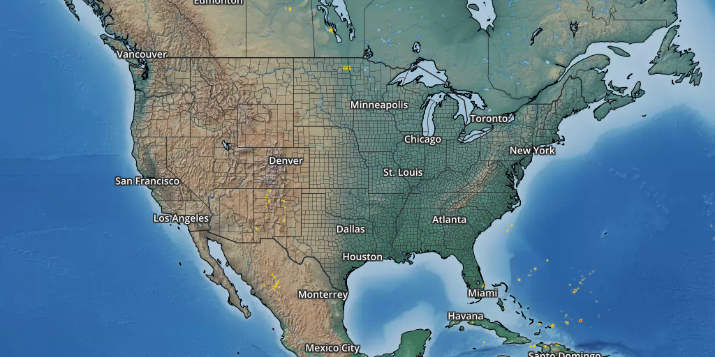
United States Lightning
The national view shows where lightning activity is concentrated across the contiguous United States.
Lightning Strike Density
The density field represents the number of lightning strikes within roughly 8-km grid cells; more concentrated shading indicates greater recent lightning activity.
This product emphasizes where strikes are concentrated rather than plotting every individual bolt.
The underlying lightning-density product updates about every 15 minutes.
Use the regional map to assess current activity approaching or occurring across Eastern North Carolina.
The broader map provides context for active thunderstorm regions across the country.
Additional Lightning Views
The existing ENC Weather lightning resources remain available for real-time and Southeast-focused monitoring.
Additional live lightning mapping resources.
Open →SoutheastSoutheast CONUS One Hour Lightning StrikeOne-hour Southeast CONUS lightning-strike view.
Open →RadarInteractive National RadarCompare lightning activity with current precipitation and thunderstorms.
Open →SafetyNational Weather Service Lightning SafetyOfficial lightning safety information and preparedness guidance.
Open source ↗