
Real-time Lightning Maps
Lightning flashes from the latest five-minute window, with focused Eastern North Carolina and broader Southeast views.
Latest 5-Minute Lightning
A close regional view of the most recent lightning flashes across Eastern North Carolina.
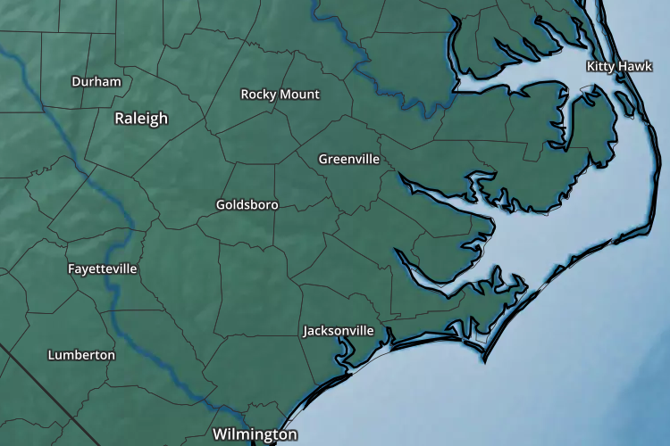
Latest 5-Minute Lightning
A broader Southeast view for tracking active thunderstorm corridors upstream of Eastern North Carolina.
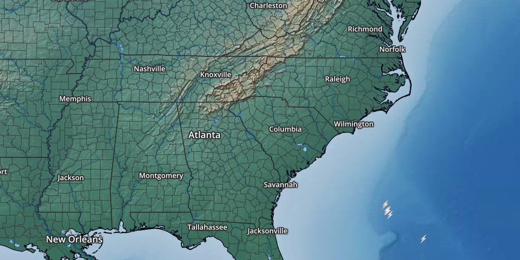
What the Symbols Represent
These maps emphasize the location of very recent lightning flashes rather than a longer accumulation period.
Flashes connecting a thunderstorm cloud with the ground.
Flashes occurring within or between electrically active cloud regions.
Older flashes fall off the map as each new five-minute period becomes current.
If thunder is audible, lightning is close enough to be dangerous; move indoors.
Lightning Monitoring
Use the longer-duration and broader products when you need additional context.
Eastern NC and national lightning-density maps.
Open →1 HourSoutheast CONUS One Hour Lightning StrikeLonger-duration Southeast lightning view.
Open →RadarInteractive National RadarCompare lightning with current thunderstorms and precipitation.
Open →SafetyNWS Lightning SafetyOfficial National Weather Service lightning-safety guidance.
Open source ↗