Weather Maps
One place for the current radar, satellite, temperatures, alerts, severe-weather outlook and broader regional weather context across Eastern North Carolina.
Eastern North Carolina
Switch products instantly while keeping the same regional view for easy comparison.
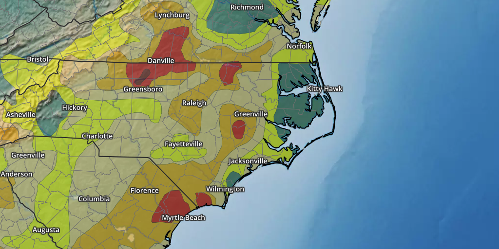
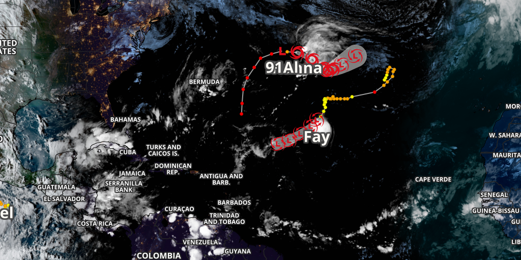
Longer-Timescale & Tropical Context
These products update less frequently than radar but add important background context.
Go Deeper
Open the dedicated ENC Weather pages when you need an interactive or more specialized analysis.
Pan, zoom and explore the full ENC Weather MRMS radar viewer.
Open tool → Satellite GOES-East SatelliteGeoColor, infrared, Air Mass and regional GOES-19 views.
Open tool → Analysis Surface AnalysisFronts, pressure systems and the current synoptic pattern.
Open tool → Mesoanalysis East-Central MesoanalysisHigher-detail analysis for the region around Eastern North Carolina.
Open tool → Coastal NOAA Tides & CurrentsEastern NC coastal tide predictions and observed water levels.
Open tool → Tropics Active Tropical SystemsCurrent Atlantic and eastern Pacific cyclone information.
Open tool →Which map should I use?
Best first look for ongoing rain and thunderstorms.
GeoColor provides the broad cloud and weather-system picture.
Alert polygons show current watches, warnings and advisories.
The SPC categorical outlook shows the broader convective-risk area.