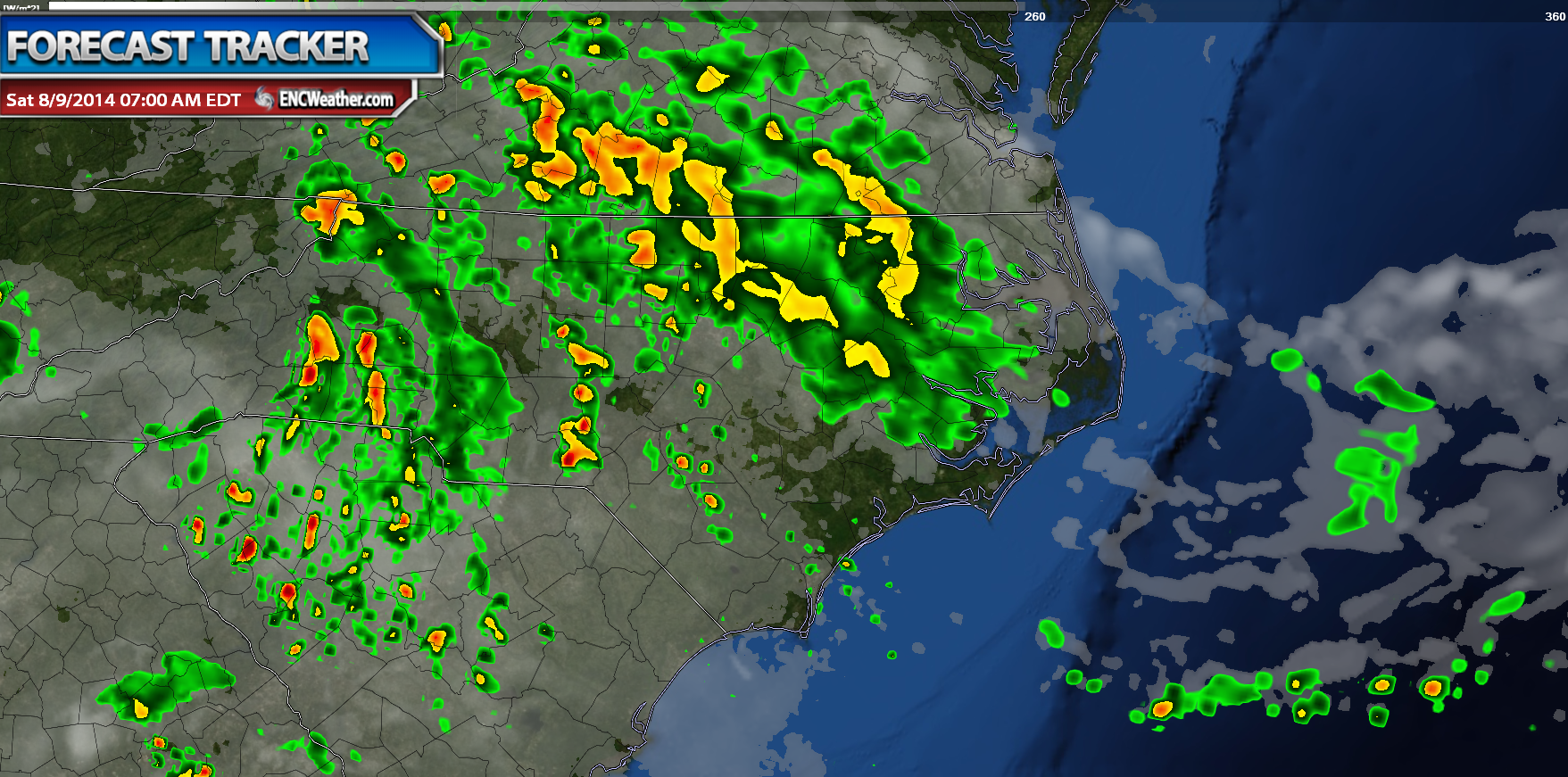
Heavy Rain This Weekend

A stalled surface boundary currently south of our region will become the focal point for this weekends weather. Some returns have been picked up on the radar but given the drier low levels on top of light echos mainly over 4,000 ft from the radar site leads me to believe that the rain is evaporating before it can reach the ground. I haven’t seen any reported sites indicating precipitation reaching the ground as well. This however will change as the night moves on.
Low pressure situated on the frontal boundary over the Mid-West will slowly progress eastward along the boundary Saturday through Monday. During this time the surface boundary will lift northward as a response to the advancing low increasing both low-level moisture as well as lift to promote precipitation. Forecast soundings indicate precipital water values above 2″ which indicates that we could see long durations of heavy rain over the course of the next couple of days. Current forecast hints at a 2-4″ rainfall total over inland and southern sections of ENC with the potentially for locally heavy amounts greater than 4″. Northeastern sections of ENC will also see action however it will be lighter in comparison with only a 1-3″ forecast.

The rain should begin overspreading the region early Saturday morning as the surface low progresses eastward. The rain will start out scattered early becoming more widespread Sunday when we can expect the greatest rainfall accumulations.

The NWS is holding off on Flood Watches since as of Friday night they do not believe that a widespread flooding event will occur. They did however mention that they will issue updates in the Hazardous Weather Outlook regarding any flooding that could occur. You can follow these Hazardous Weather Outlooks on the NWS website (most reliable source) for these issues or follow @encweather (good but might miss an issue depending on network) on twitter to automatically update you as they are issued.
The low begins to washout offshore by mid-week with rain chances decreasing across the area Monday through Wednesday. High temperatures over the weekend will be help back by clouds and rain. Expect most sections to hover around 80 or lower 80s. Temperatures begin to rebound after Monday with highs getting back into the lower 90s by mid-week.