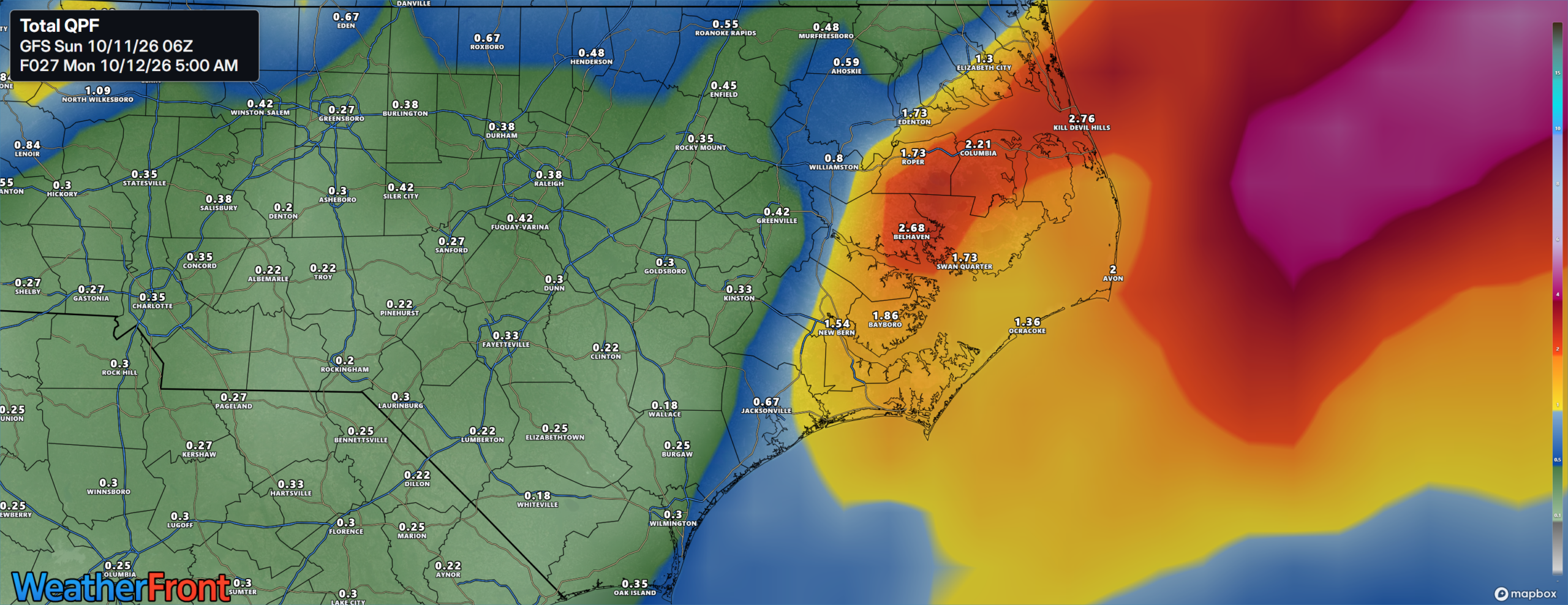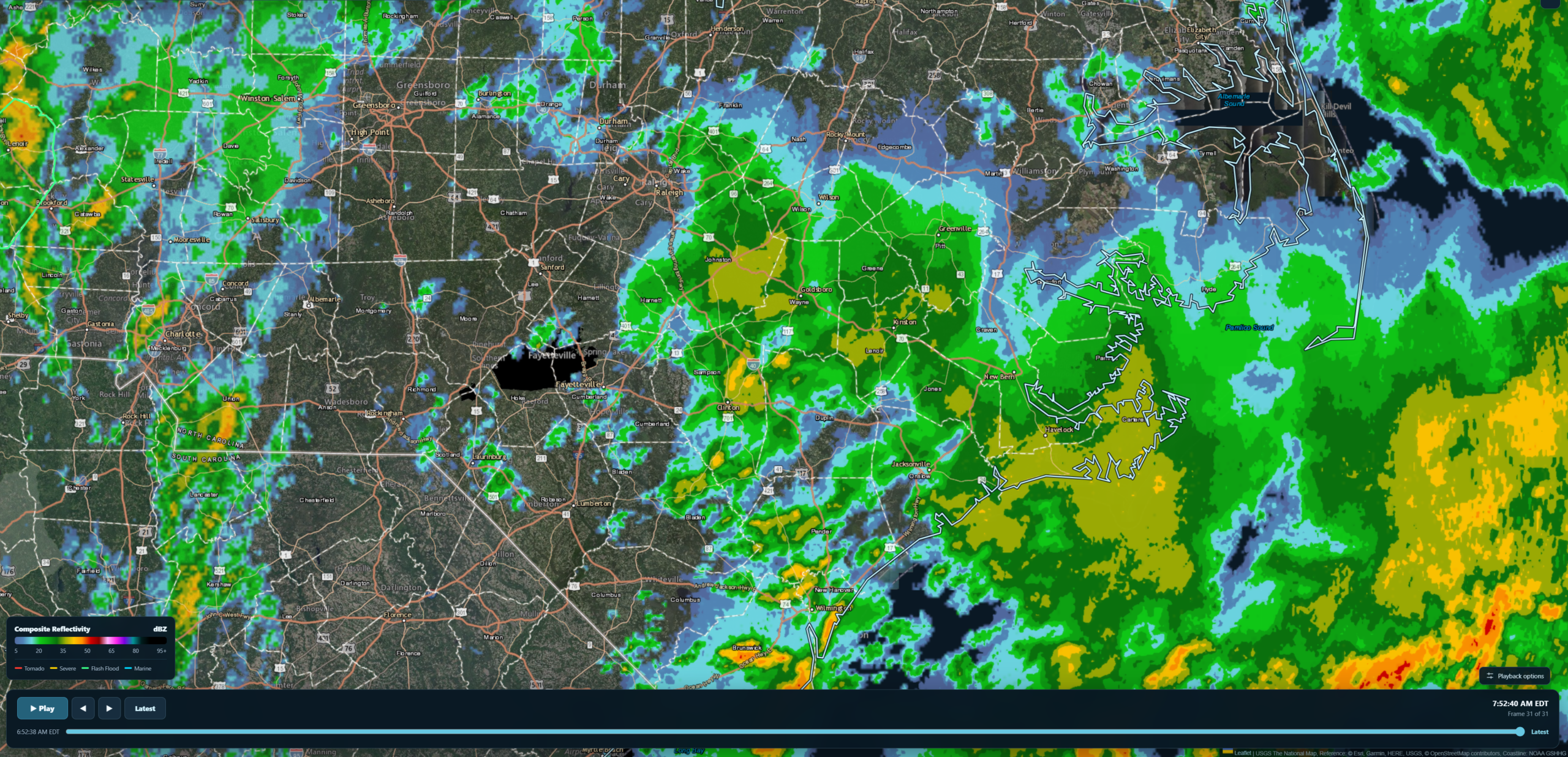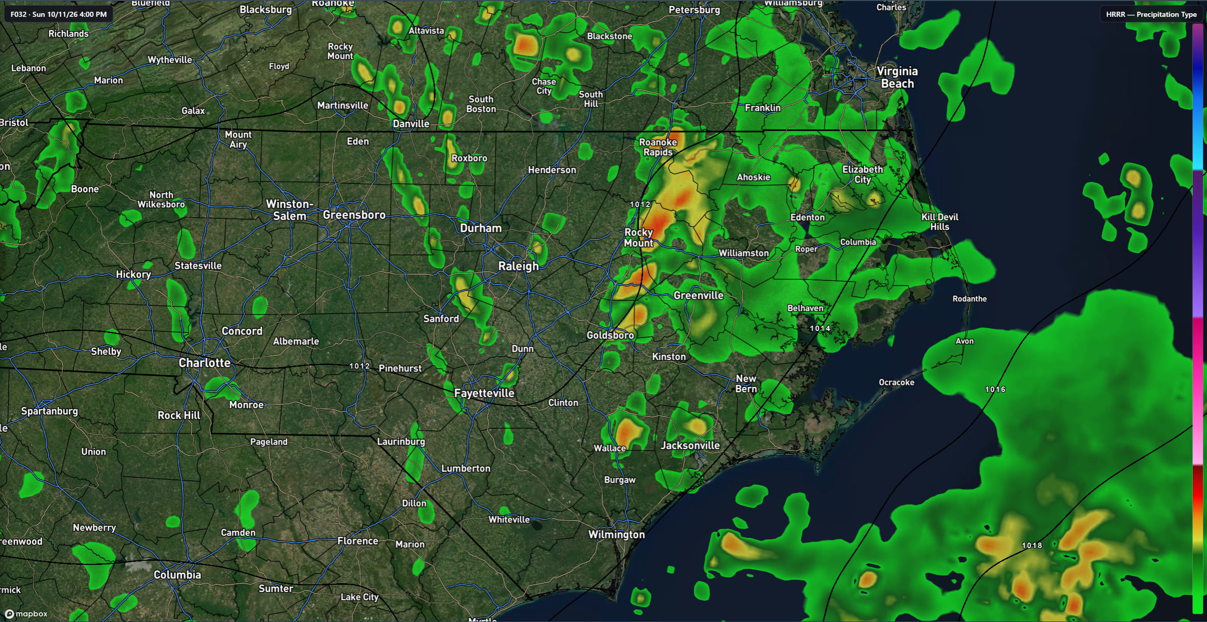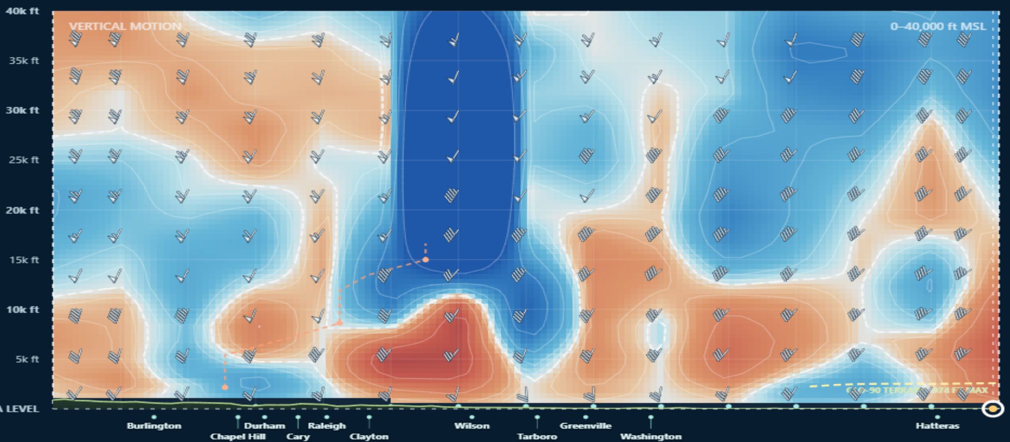
Good morning, ENC! It has been a wet weekend so far as the remnants of Isaias impact all of Eastern North Carolina. This morning, a warm front is pushing northward through the area bringing a large area of light to moderate rain showers inland with some heavier showers along the coastal counties. For the inland section, the rain will stick around for most of the morning before ending briefly from southwest to northeast. There will be a brief dry period for the inland areas before a cold front associated with Isaias brings a line of thunderstorms through the area. This should occur between 1-5pm this afternoon and this does raise the potential for severe weather for the northern half of ENC.
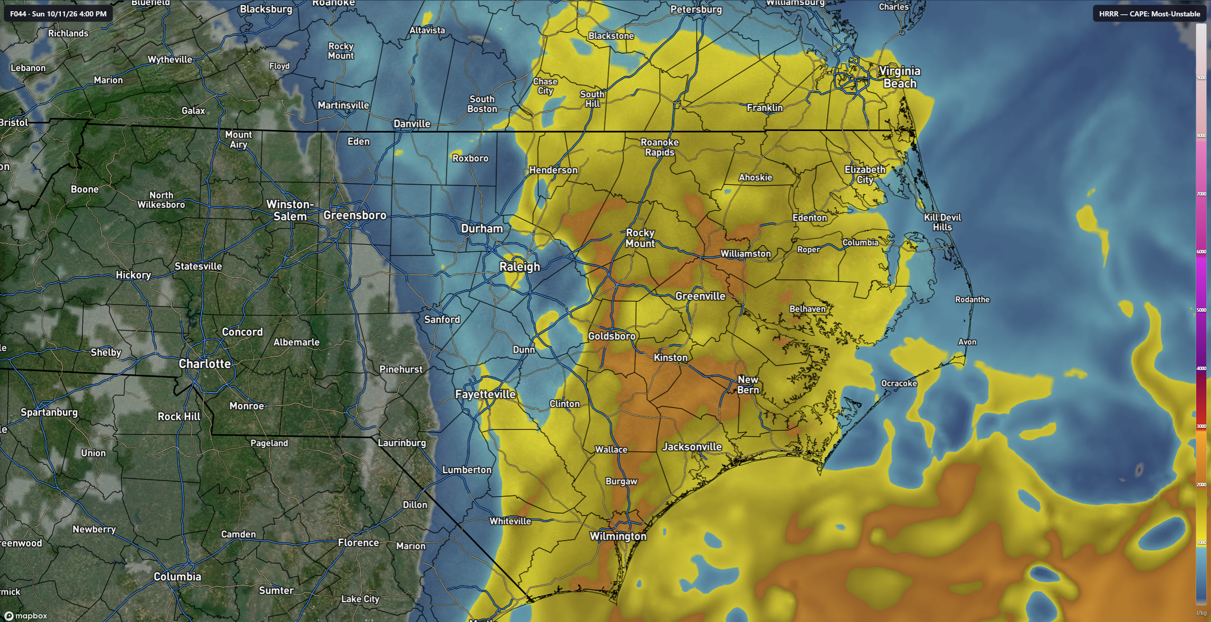
Once the warm front passes this morning, we should see instability increase. Forecast models show CAPE values in excess of 1500 J/kg by early afternoon. There are signs on some of the models of potential rotation with some of these storms which does increase the risk of isolated tornadoes with any discrete storms that do develop. The Storm Prediction Center has placed most of inland ENC in the Slight Risk category for severe weather this afternoon and in the 5% tornado risk.
For the coast, I expect rain to linger for the remainder of the day with precipitation totals for the day reaching 2-3 inches. There is a risk for some thunderstorms along the coast though the severe risk will be lower than the inland sections.
Rain pushes off the coast late tonight with Monday being mostly sunny during the day though there could be some passing clouds as the remnants of Isaias pulls away from the area. Highs on Monday will reach the upper-70s with lows near 60. The remainder of the week looks to be sunny and dry with high pressure dominating the weather. Our first taste of much colder air will come next weekend as a strong cold front should push through the area. It doesn’t appear to have a lot of moisture with it so I don’t expect much, if any, rain from this system as it passes.