
Atlantic Graphical Forecasts
North Atlantic upper-air, surface and marine forecast graphics from 24 through 96 hours.
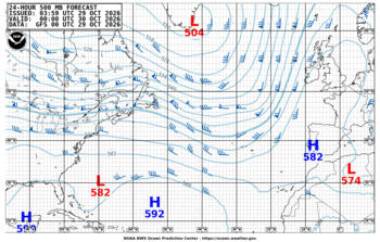
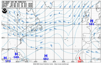
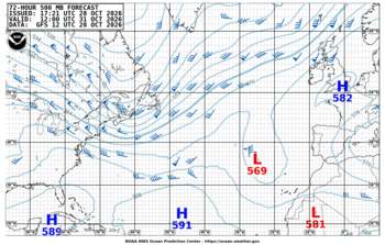
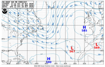
500-mb Forecasts
Track the large-scale mid-tropospheric pattern and steering flow from 24 through 96 hours.
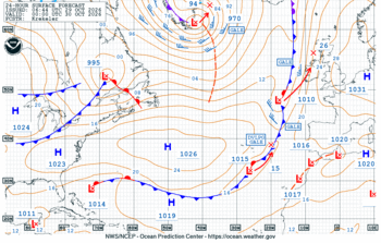
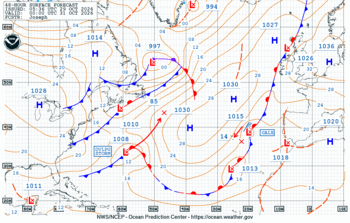
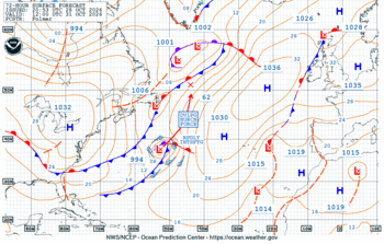
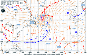
Surface Forecasts
Follow forecast pressure systems, fronts and major marine weather features across the Atlantic.
Wind & Wave Forecasts
Surface wind and significant wave-height forecasts for Atlantic marine conditions.
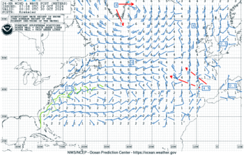
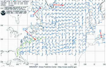
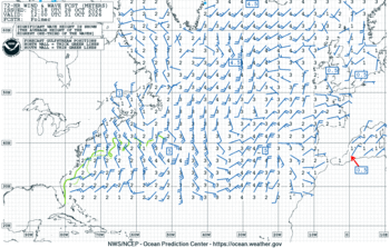
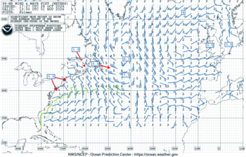
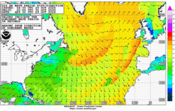
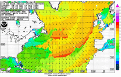
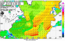
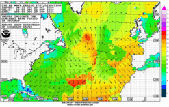
Wave Period & Direction Forecasts
Peak wave period and dominant wave-energy direction for assessing the evolution of the Atlantic sea state.
Reading the Atlantic Graphics
Each row follows the same 24-, 48-, 72- and 96-hour progression so changes in the synoptic pattern and marine environment can be compared through time.
Shows the mid-level height pattern used to assess troughs, ridges and large-scale steering flow.
Shows forecast highs, lows, fronts and the surface pressure pattern.
Combines marine wind information with significant wave-height forecasts.
Highlights the period and travel direction of the most energetic wave systems.
Ocean Prediction Center Resources
Use OPC for the latest operational Atlantic forecast page, graphical loops and marine forecast guidance.
Official OPC Atlantic analysis, graphical forecasts and marine products.
Open source ↗LoopsGraphical Product LoopsOcean Prediction Center multi-day graphical forecast loops.
Open source ↗NHCTropical Marine ForecastsNational Hurricane Center tropical Atlantic marine analyses and forecasts.
Open source ↗ENCAtlantic DiscussionCurrent NHC Atlantic Tropical Weather Discussion.
Open →