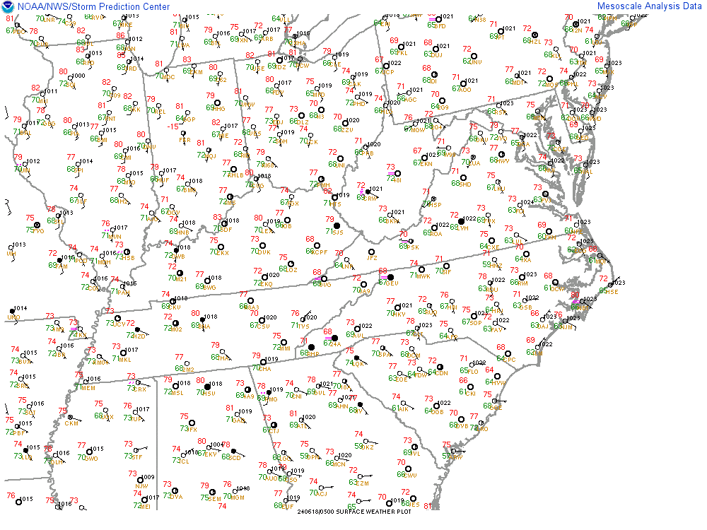
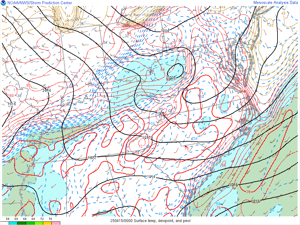
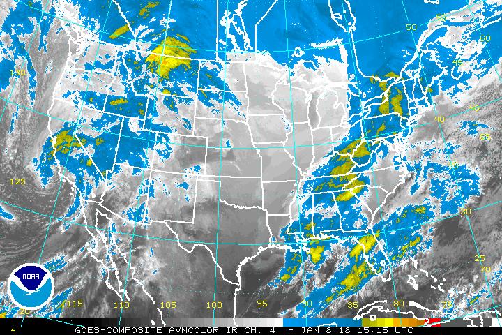
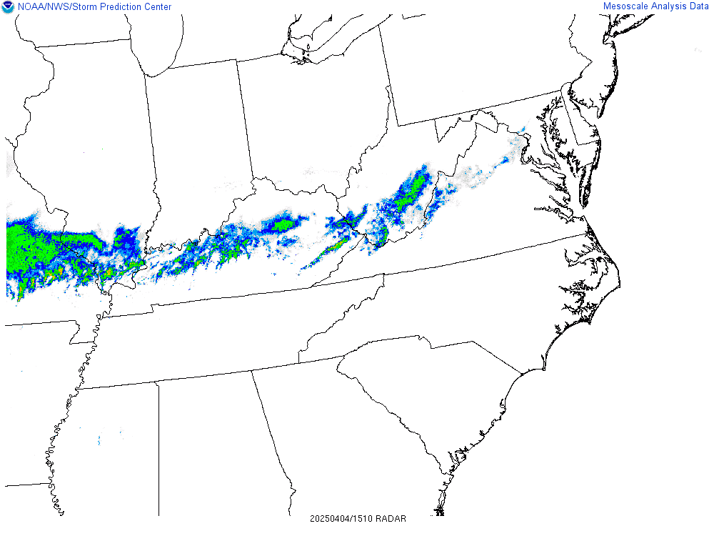
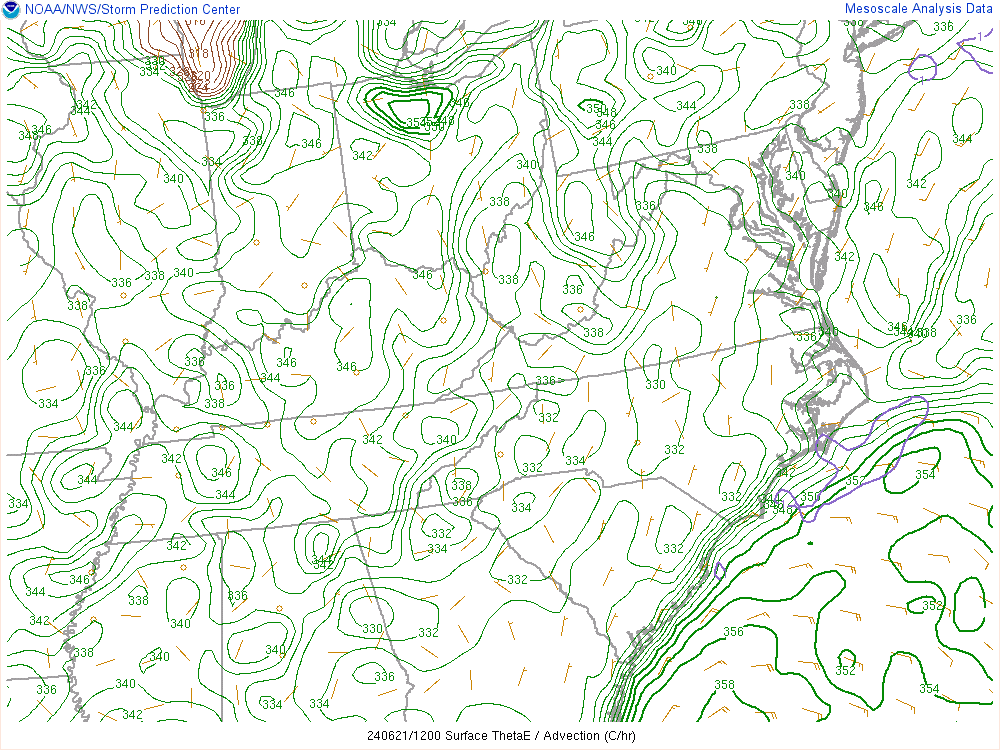
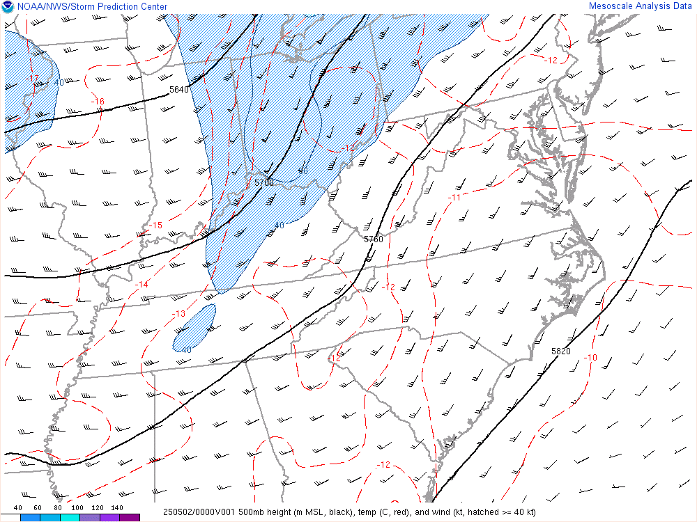
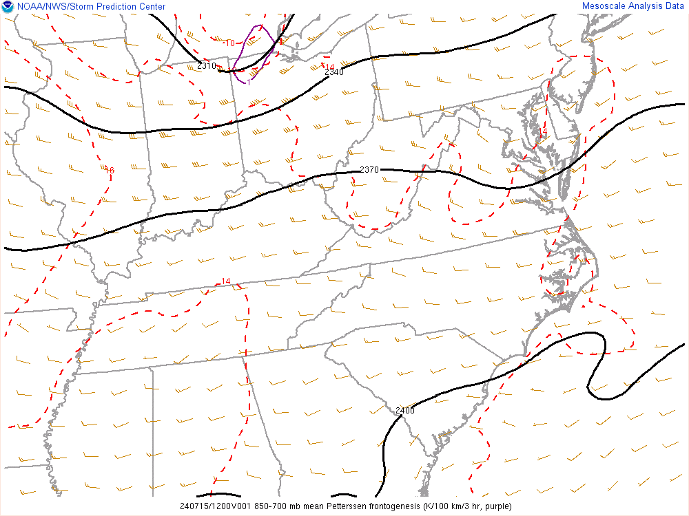
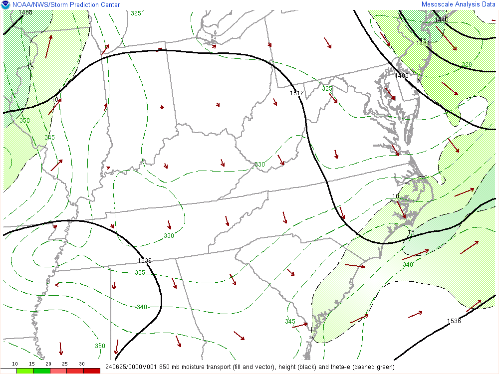
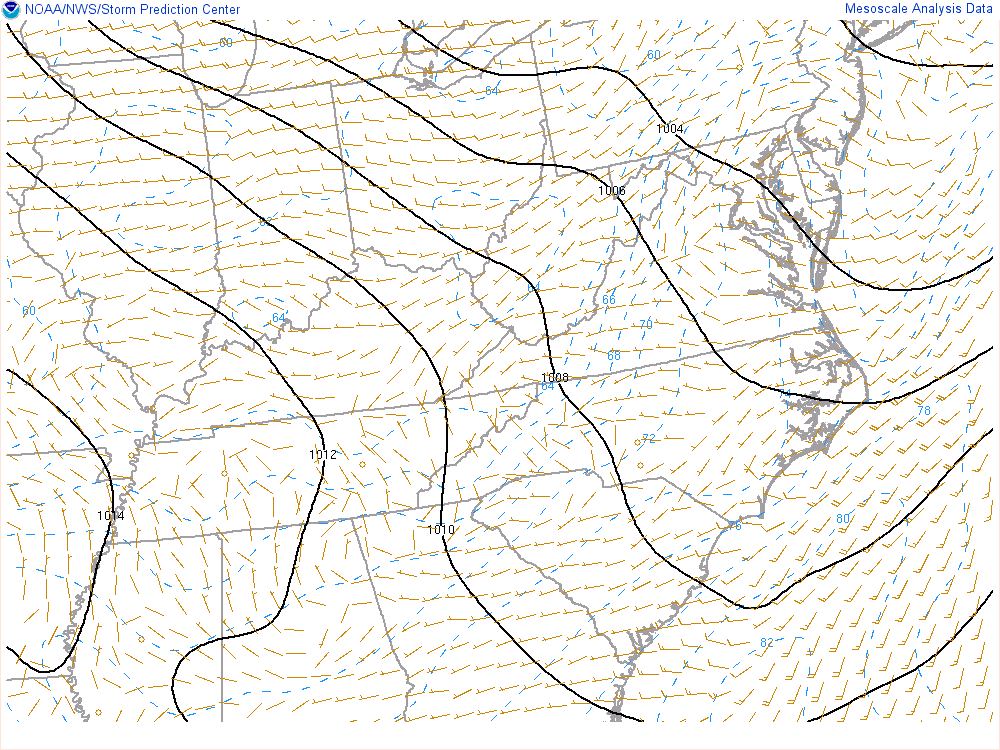
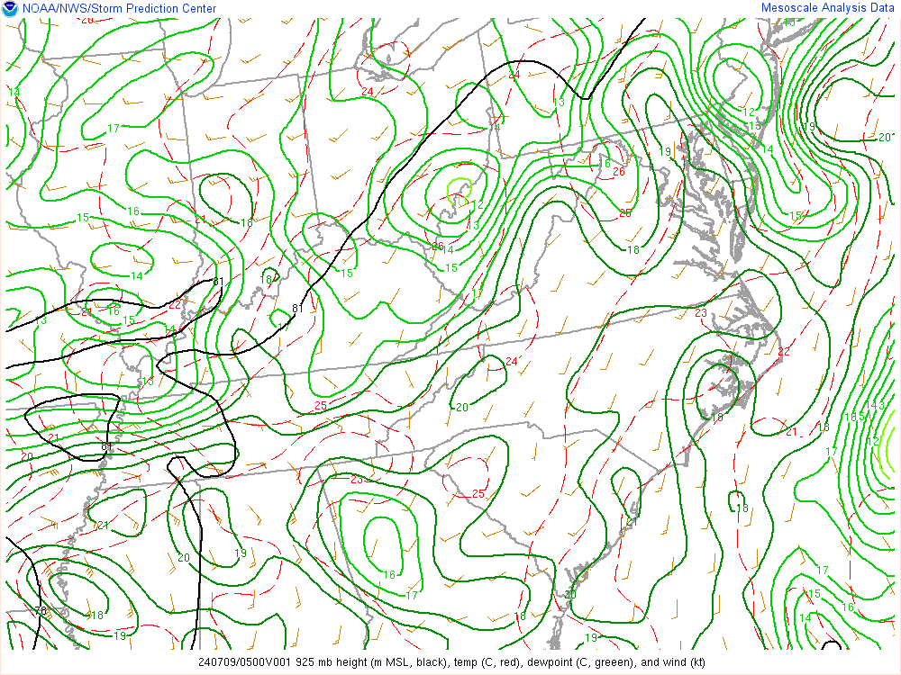
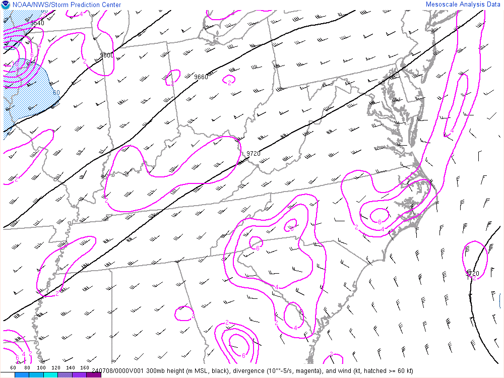
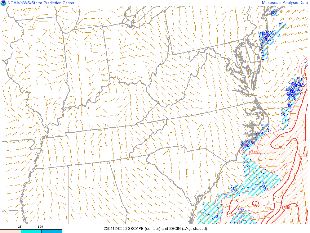
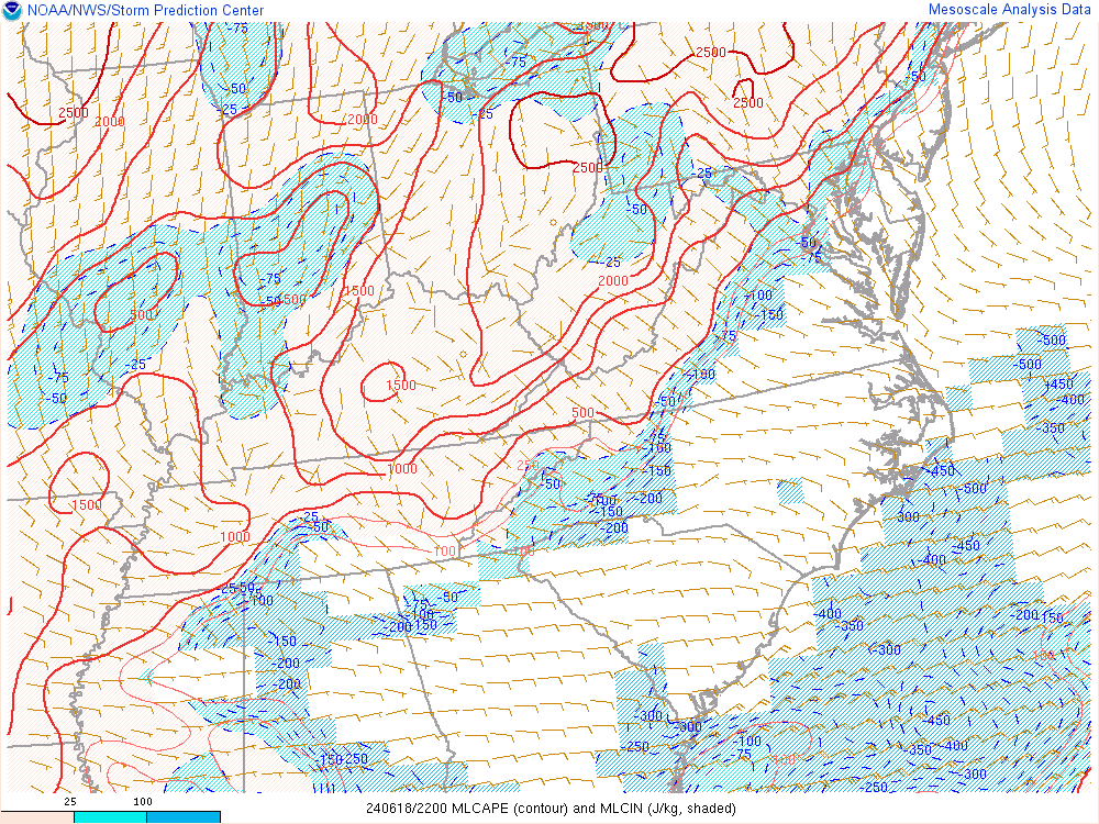
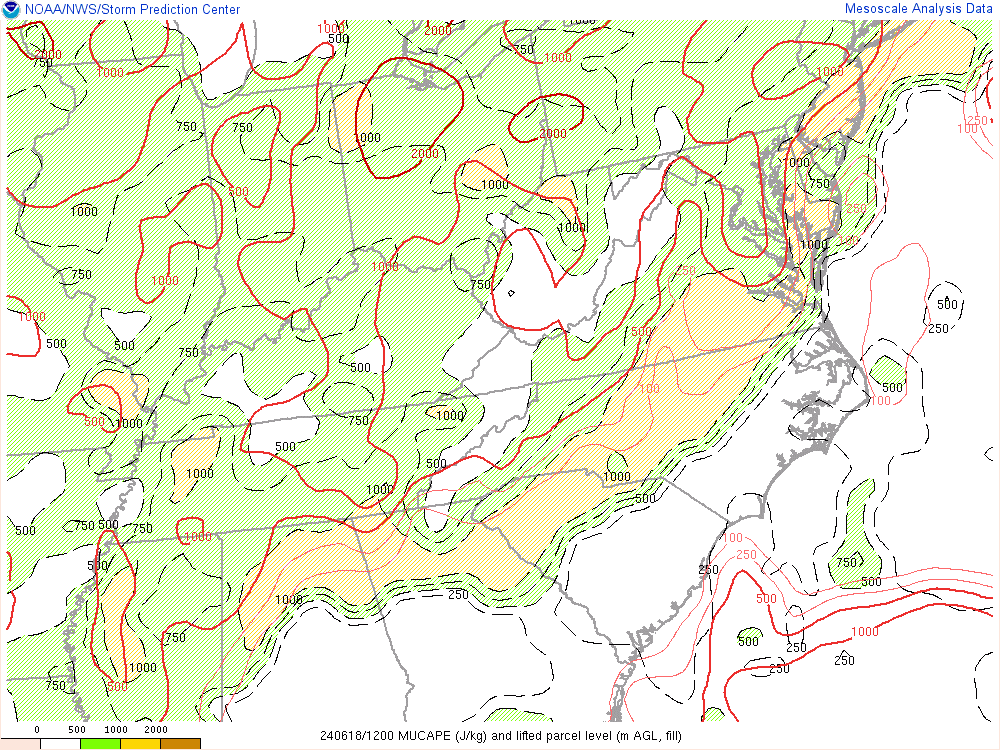
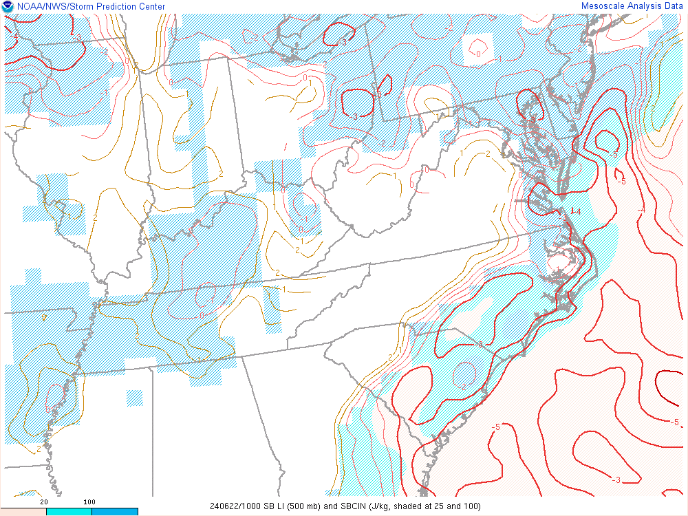
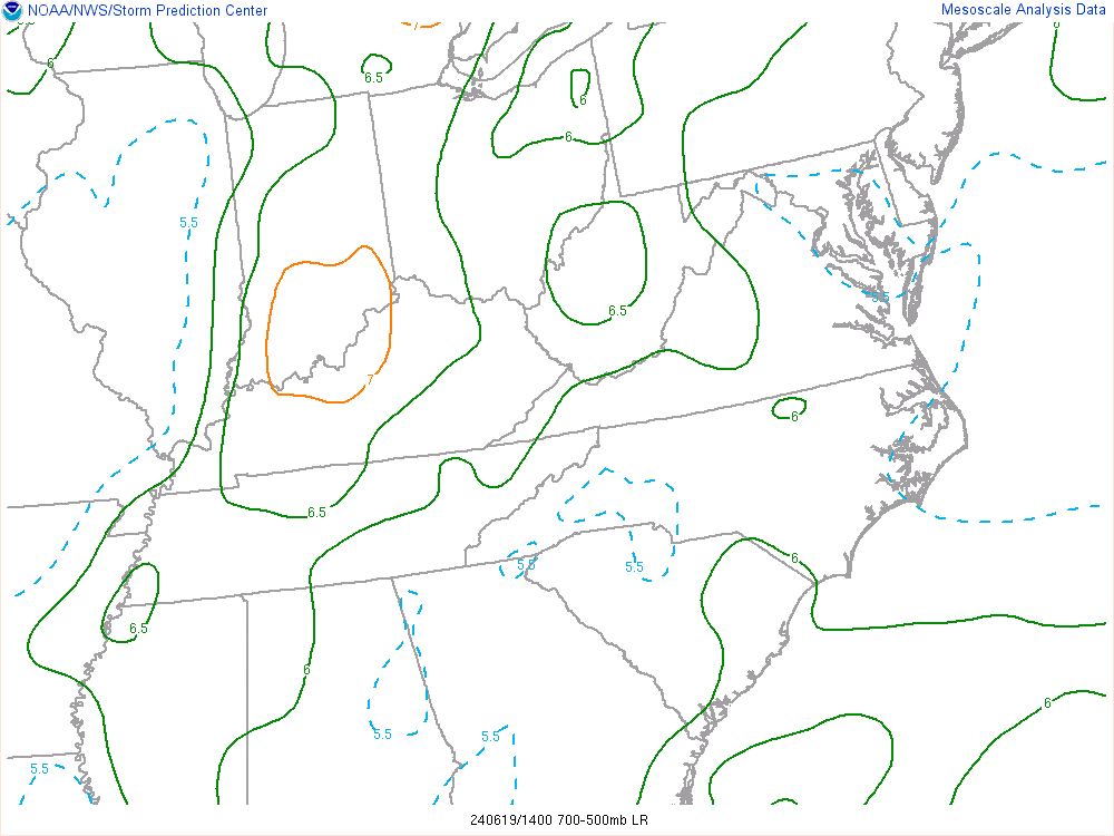
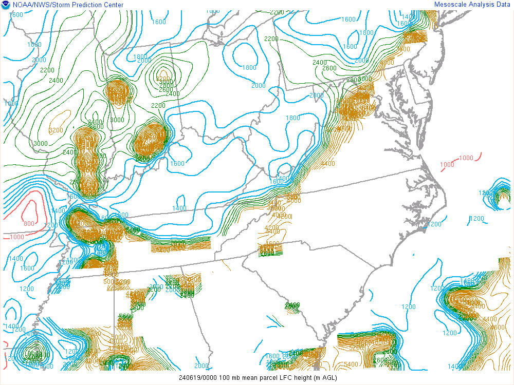
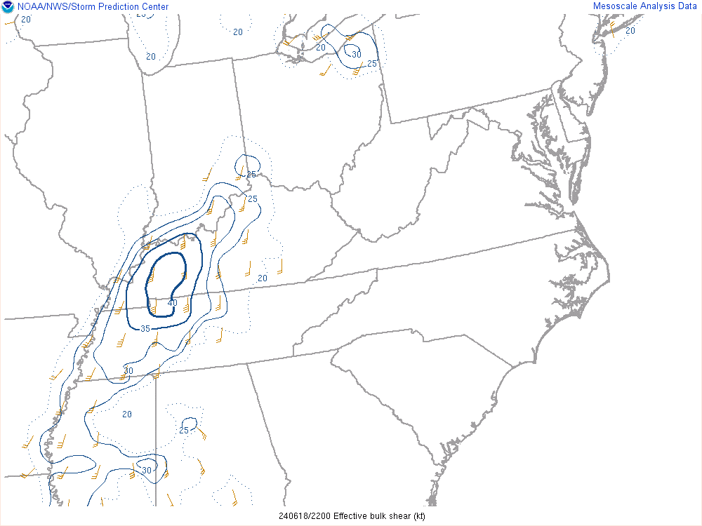
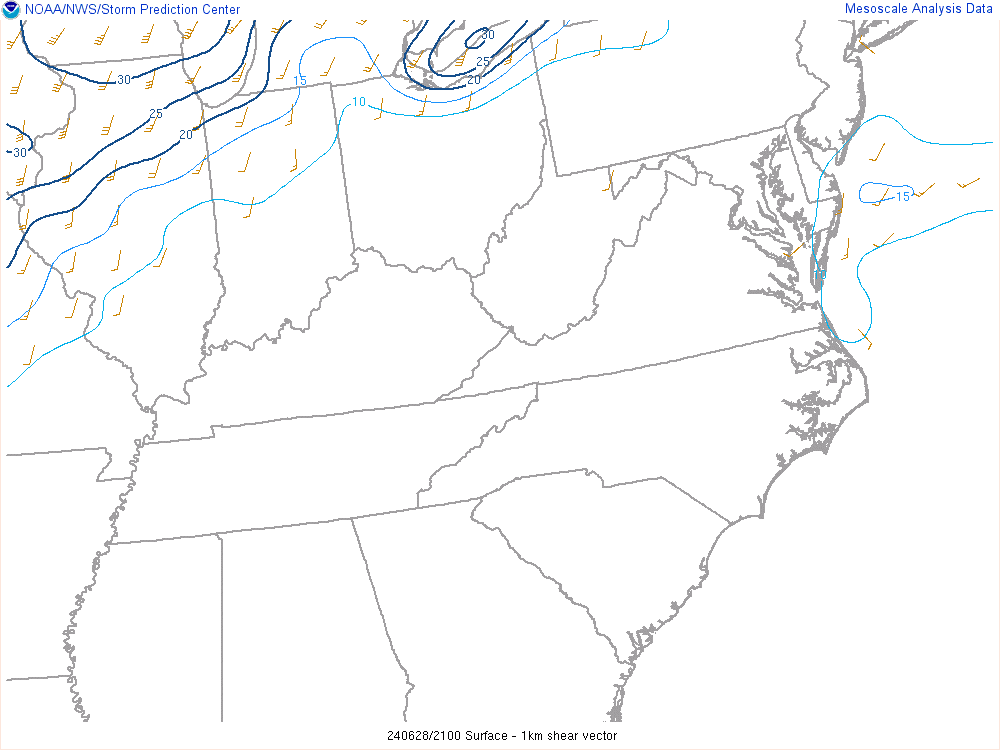
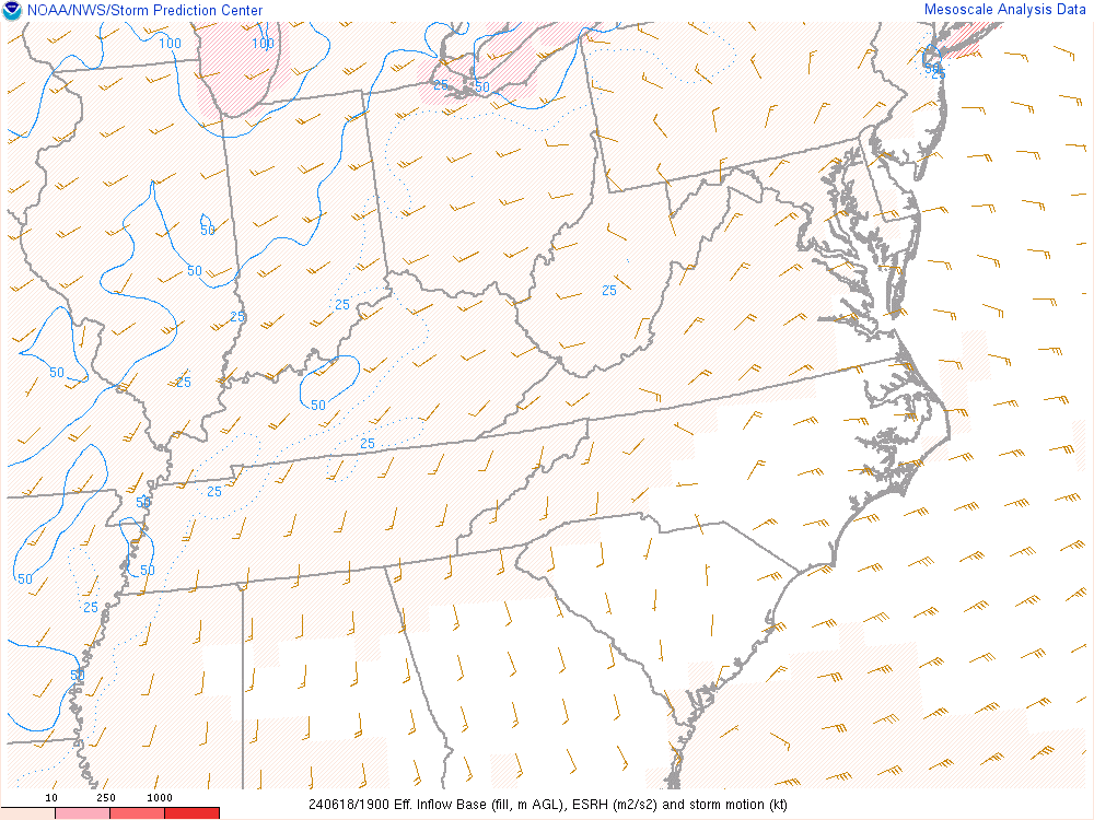
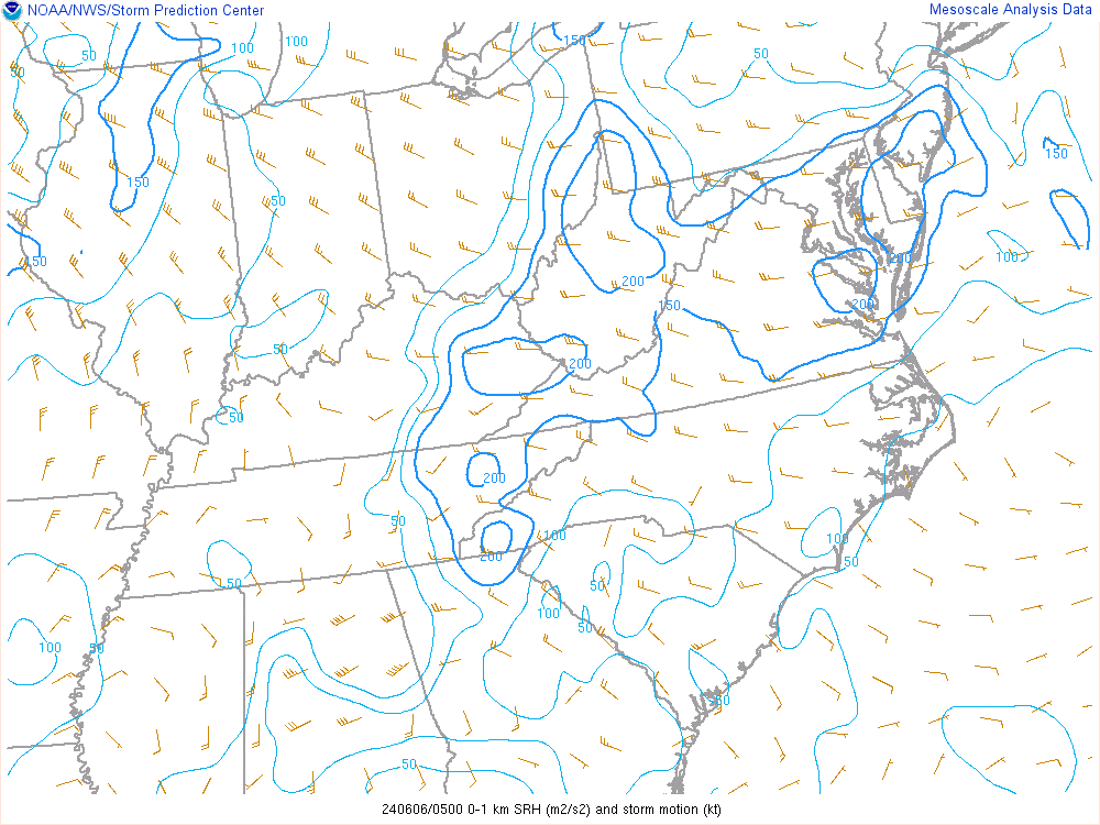
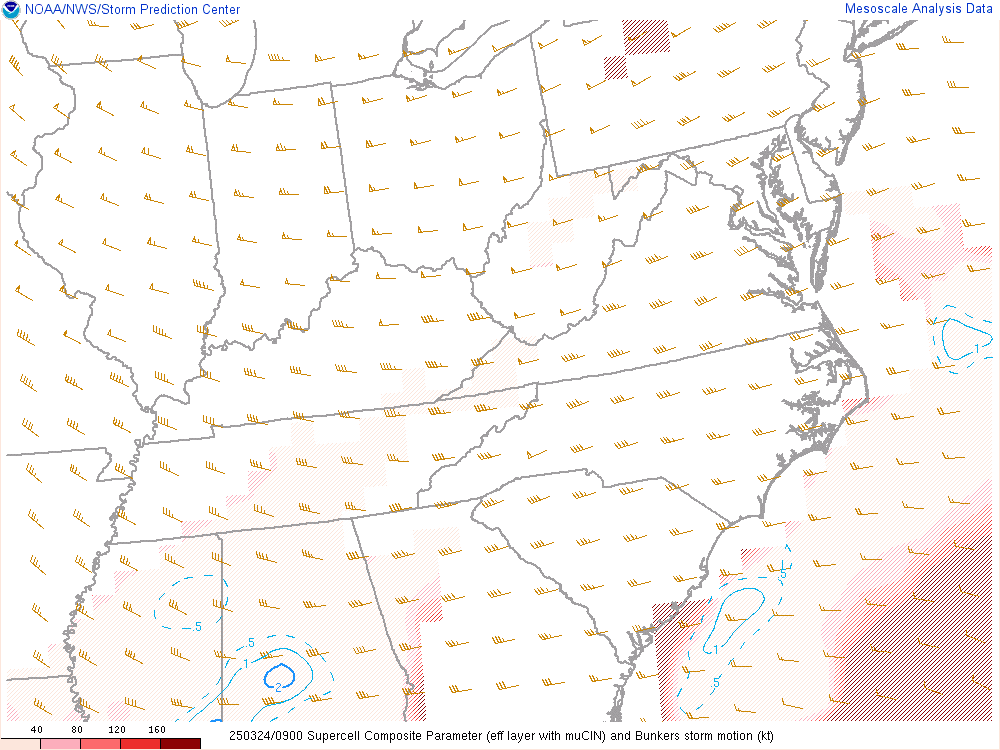
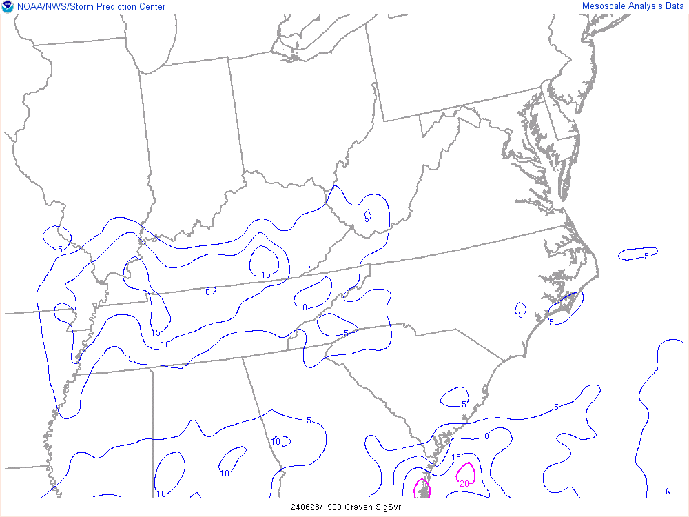
Weather Analysis Convective Outlook Day 1 Convective Outlook Day 2 Convective Outlook Day 3 Convective Outlook Day 4-8 Current Watches/Warnings Mesoscale Discussions Storm Reports Visible Satellite Surface Observations Temperature/Dewpoint IR Satellite RGB Satellite Regional Radar Morehead City, NC Radar Raleigh, NC Radar Surface Analysis Moisture Convergence Surface Theta-E Surface Theta-E Precipital Water 2 Hour Surface Pressure Change 850 MB Analysis 850 MB Temperature Advection 850 to 700 mb Frontogenesis 850 MB Moisture Transport 850 MB Temperature Advection Surface Frontogenesis 925 MB Analysis 700 MB Analysis 500 MB Analysis 300 MB Analysis Surface Based CAPE Mixed Layer CAPE Most Unstable CAPE Downdraft CAPE Lapse Rate LCL Height LFC Height Dewpoints/ Lapse Rates Effective Shear 0-1 KM Shear 0-6 KM Shear Effective SRH 0-1 KM SRH 0-3 KM SRH Supercell Significant Tornado Significant Hail Craven Significant Severe 0-1 KM Energy Helicity Index 0-3 KM Energy Helicity Index Probability of Heavy Rain Day One QPF Day Two QPF Day Three QPF Days 4 and 5 QPF Day 1 to 5 QPF Flash Flood Guidance River Conditions Observed 24 Hour Precipitation Inspired by the NWS Morehead City, NC WFO.