Invest 91L Will Move into Gulf of Mexico This Week
Updated at 6:45 PM 6/14/15 to update forecast.
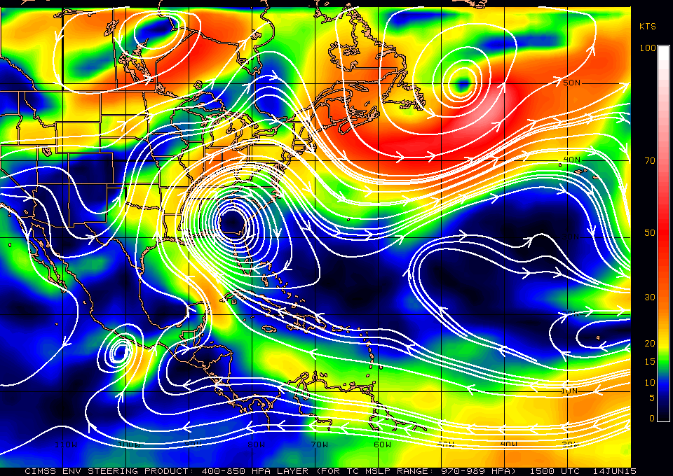
Invest 91L currently sits over the Yucatan Peninsula bring heavy rain and thunderstorms to the area.

The general track has been to the NNW up to this point and is expected to continue this track for the next day. High pressure builds over the eastern CONUS which will turn 91L slightly northwesterly through Tuesday. The extent of this northwestward turn will determine the impacts along the Texas/Louisiana coast.

91L is expected to move over the very warm waters of the Gulf of Mexico over the next couple of days and wind shear appears to be lessening to a point that would be favorable for tropical depression formation. We still need convection developing over a center of circulation for any chance of this becoming a tropical cyclone. The National Hurricane Center has given 91L a 70% chance of formation during the next 2 days. This would make it the second tropical depression of the season if it does form.


The biggest impact from this system will be the heavy rain that will accompany its landfall. The general consensus is a track bringing it between Corpus Christi and Houston.

The heavy rain will spread inland over eastern Texas which does not need extra rain.